COUPLE_MONT_SAINT_CLAIR
©

COUPLE_MONT_SAINT_CLAIR

|

O_OCTOBRE_OT-THAU

Panel 13: Mont Saint-Clair, harbour side

The History of Sète: Mont Saint-Clair

Histoire de Sète : le mont Saint-Clair

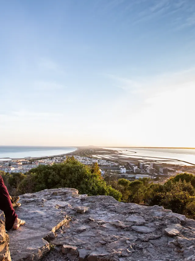
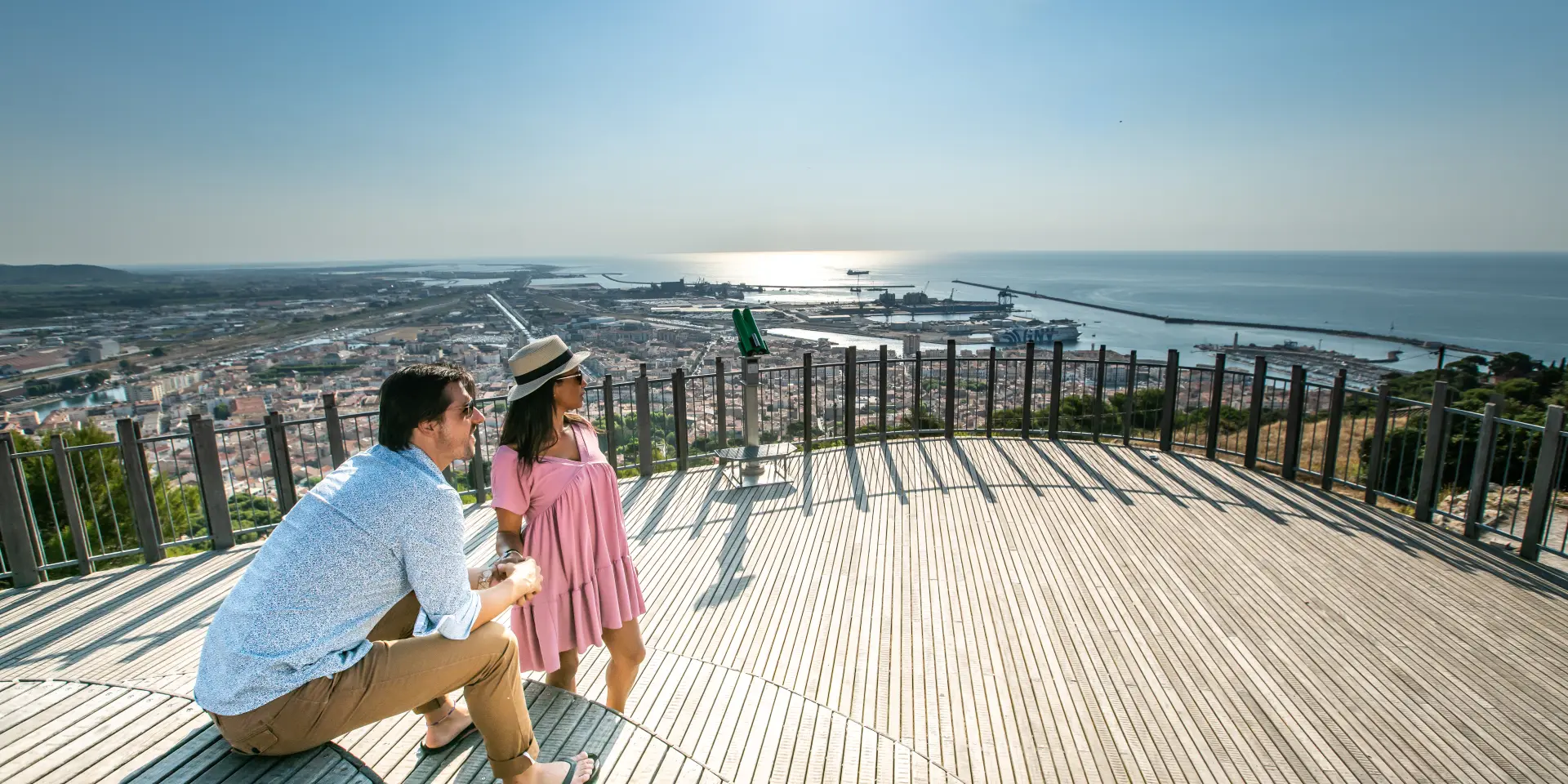
Panorama of Mont St Clair – Harbour Side

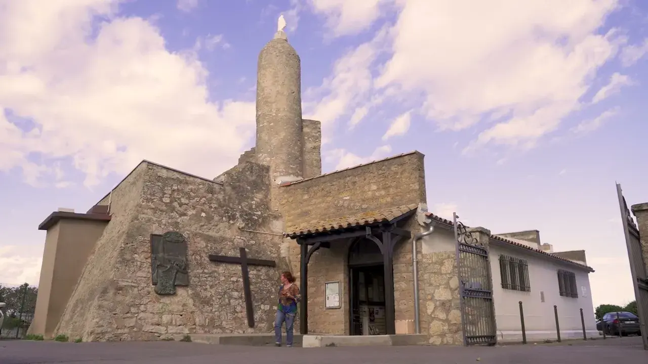
Rising to a height of 175 metres, this limestone mountain was, as far back as the Middle Ages, a refuge for pirates but also a place of worship. In the 12th century, a chapel was dedicated to Saint Clair. The Notre-Dame-de-la-Salette chapel was built in 1861 on the site of the former Montmorencette fort, constructed during the reign of Louis XIII.

Outside, the cross erected in 1932 – originally made of wood, now of concrete – is illuminated and visible for kilometres around.

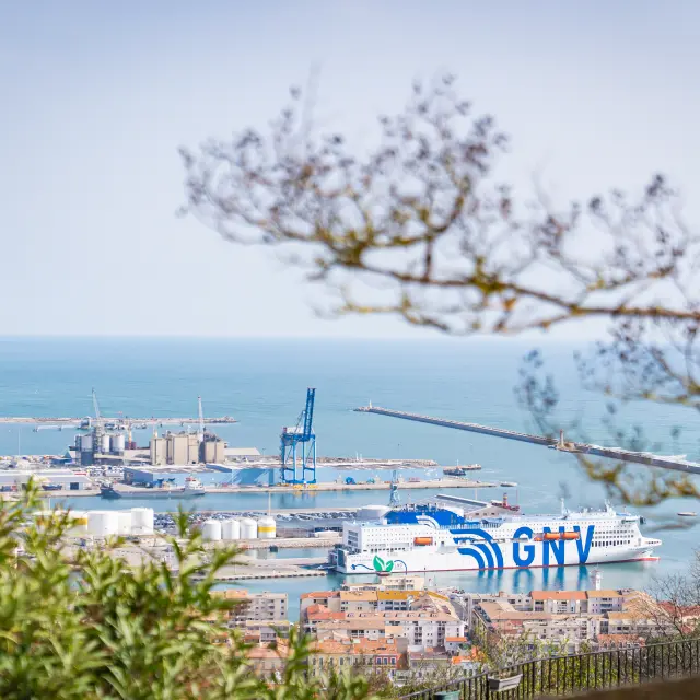
View of the Harbour

Once an island, described by Paul Valéry as ‘unique’, the port town owes its origins to its hilltop, a veritable vantage point from which to watch the comings and goings of galleys and ships. Although, at the end of the 15th century, King Henry IV had considered the Cap de Cette as a means of reviving maritime trade, which had been crippled by the silting up of the ports of Agde and Narbonne, it took a decision by Louis XIV and the major development works on the Canal des Deux-Mers by Paul Riquet – now the Canal du Midi – to create this new deep-water port in July 1666.

Here there are no ramparts or palaces; the architectural heritage of Sète – which was spelled ‘Cette’ until January 1928 – was built up as the port developed. Stretching between its canals, artificial islets, swing bridges and drawbridges, the old town in the 18th century comprised the Marine district and the Quartier Haut. Today, it is a port for both passengers and freight. To the west, from the Orsetti basin, regular ferry services depart; the ferry terminal welcomes cruise passengers; and opposite the railway station, in the old basin near the pier, the marinas are a delight for lovers of the sea.

Les Pierres-Blanches    

On the north-western slope of Mont Saint Clair, a 27-hectare state-owned forest was home, until 1920, to vineyards and free-roaming sheep. Partially cleared during the Second World War to provide firewood, pine and cedar trees were replanted there from 1963 onwards. Since then, nature has reclaimed its rightful place on this limestone soil. Between the pine forest and the garrigue, some 400 plant species have been recorded, including two protected species: Jupiter’s beard, a flowering shrub, and the gagée, a small crocus with yellow flowers.

From the orientation point, a panoramic view stretches from the Cévennes to the Pyrenees and, on a clear day, as far as Mont Canigou.