©

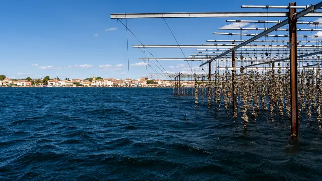
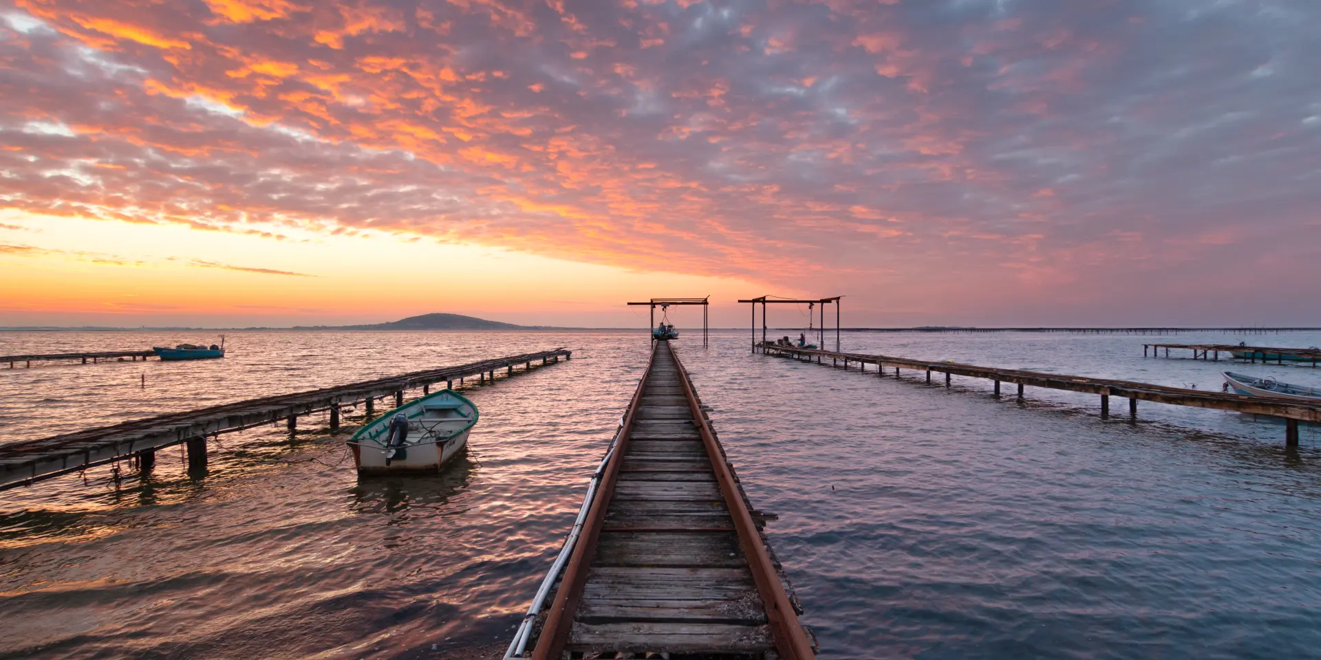
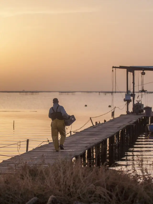
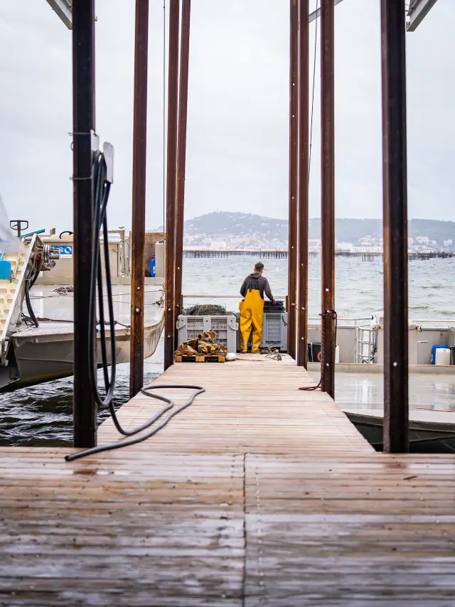
Jetty, lagoon, shellfish farming, view of Sète

|

F_AMBROSINO_OT-THAU

History of the Thau Lagoon

The Thau Lagoon is unlike any other. Its 7,500 hectares stretch between Mont Saint-Clair in Sète and Mont Saint-Loup in Agde, separated from the Mediterranean by a narrow sandbar. With an average depth of 4.50 metres and depths reaching up to 32 metres, it is radically different from other Languedoc lagoons. This uniqueness has its roots 10,000 years ago, when the glaciers melted and the sea reshaped the coastline. Since then, the history of the lagoon has been intertwined with that of the people living on its shores: Roman fishermen, medieval salt workers, modern shellfish farmers. Discover how the Thau Archipelago has developed around this small inland sea.

When the earth split open The geological formation of the Thau Lagoon

Several million years ago, the uplift of the Pyrenees and the Massif Central caused the continental plate to fold. The Gardiole mountains, Mont Saint-Clair and the volcanoes from the Massif Central that end at Cap d’Agde created a valley below sea level. This depression remained dry for a long time, crossed by rivers that flowed into the Mediterranean much further away.

Then the climate shifted. 10,000 years ago, at the end of the last ice age, temperatures rose. The glaciers melted. The Mediterranean rose by about a hundred metres and flooded the lowlands. The valley found itself under water. This marine transgression created the lagoons of Languedoc.
Around 6,000 years ago, ocean currents carried river sediments before them. A sandbar gradually formed between Mont Saint-Clair and Mont Saint-Loup, cutting the lagoon off from the sea. The Thau lagoon as we know it today was born. Scientists know this thanks to indirect evidence: the speciation of Thau seahorses indicates that the lagoon has been separated for several millennia.

The exceptional depth of Thau is explained by this turbulent geological history. The Vise Trench off the coast of Balaruc-les-Bains plunges to a depth of 32 metres. It is a freshwater resurgence rising from the depths. Legends tell of an ancient volcano or a sunken city lying at the bottom. The reality is different but just as fascinating: the thermal water drawn by the Balaruc-les-Bains thermal baths comes from this karst aquifer, which plunges more than 2,000 metres underground.
The grades When the lagoon breathed with the sea

For thousands of years, the lagoon was not completely enclosed. Several natural channels known as ‘graus’ maintained the connection with the Mediterranean. The Grau du Quinzième, the Grau du Rieu and the Grau de Pisse-Saumes remained open until the 17th century. Part of the Hérault delta even flowed through the lagoon.

The Pisse-Saumes grau at Marseillan was the last to disappear naturally. During the Occupation, the Germans widened it to prevent a possible tank assault. Between 1971 and 1973, it became the Canal des Allemands. Today, the lagoon communicates with the sea via three permanent artificial openings: the Canal Royal de Sète, which runs through the town; the Canal des Quilles to the west of Mont Saint-Clair; and the Grau de Marseillan.

This exchange with the Mediterranean maintains the salinity of the lagoon. The water remains salty, clear and deep, unlike other lagoons which tend to silt up and become brackish. This connection to the sea is the source of Thau’s rich biodiversity.

Human exploitation of the Thau Lagoon since ancient times

From the end of the 1st century BC, the coastline of the Thau basin began to attract settlers. Gallo-Roman villas dedicated to agriculture and wine-growing were established in the region. Fishing and shellfish gathering were practised. Flat oysters, clams and mussels were already harvested from the natural beds. The Romans were well aware of the quality of these products.

In medieval times, saltworks were established. Salt became a source of wealth. The saltworks at Frontignan operated until the end of the 20th century. The salt was not suitable for consumption as it was unwashed: it was used in tanneries, livestock farming and the chemical industry. Harvesting was carried out manually under very difficult conditions, particularly in summer under the blazing sun.

Trade flourished thanks to maritime access as well as transport routes. The Via Domitia has crossed the region since ancient times. Much later, in 1666, Louis XIV ordered the construction of the Canal du Midi, linking the Atlantic to the Mediterranean. The canal flows into the Étang de Thau at a place called Les Onglous in Marseillan. This connection transformed the local economy.

The invention of Mediterranean oyster farming

Modern oyster farming began in the 1920s. Before that, oysters and mussels were gathered from natural beds. But overfishing was threatening the stock. Something new had to be devised.
In 1925, Louis Tudesq, an oyster farmer from Bouzigues, revolutionised the industry. He invented the openwork concrete pyramid. Oyster larvae naturally attach themselves to these submerged structures. There was no longer any need to dredge the seabed. Farming could begin. Bouzigues became the birthplace of modern shellfish farming in the Thau region.

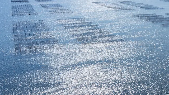
Techniques evolved rapidly. The pyramids gave way to mangrove poles, then to suspended tables that now characterise the lagoon’s landscape. These metal structures planted in the water support ropes to which the shellfish attach themselves. An ingenious system that makes use of the entire water column.

Today, around 550 shellfish farms produce 11,000 tonnes of oysters a year across 1,200 hectares of beds. This accounts for 10% of national production and 90% of French Mediterranean production. Shellfish farming provides a livelihood for 2,000 people directly in the Thau Archipelago. Oyster restaurants are now an integral part of the region’s identity.