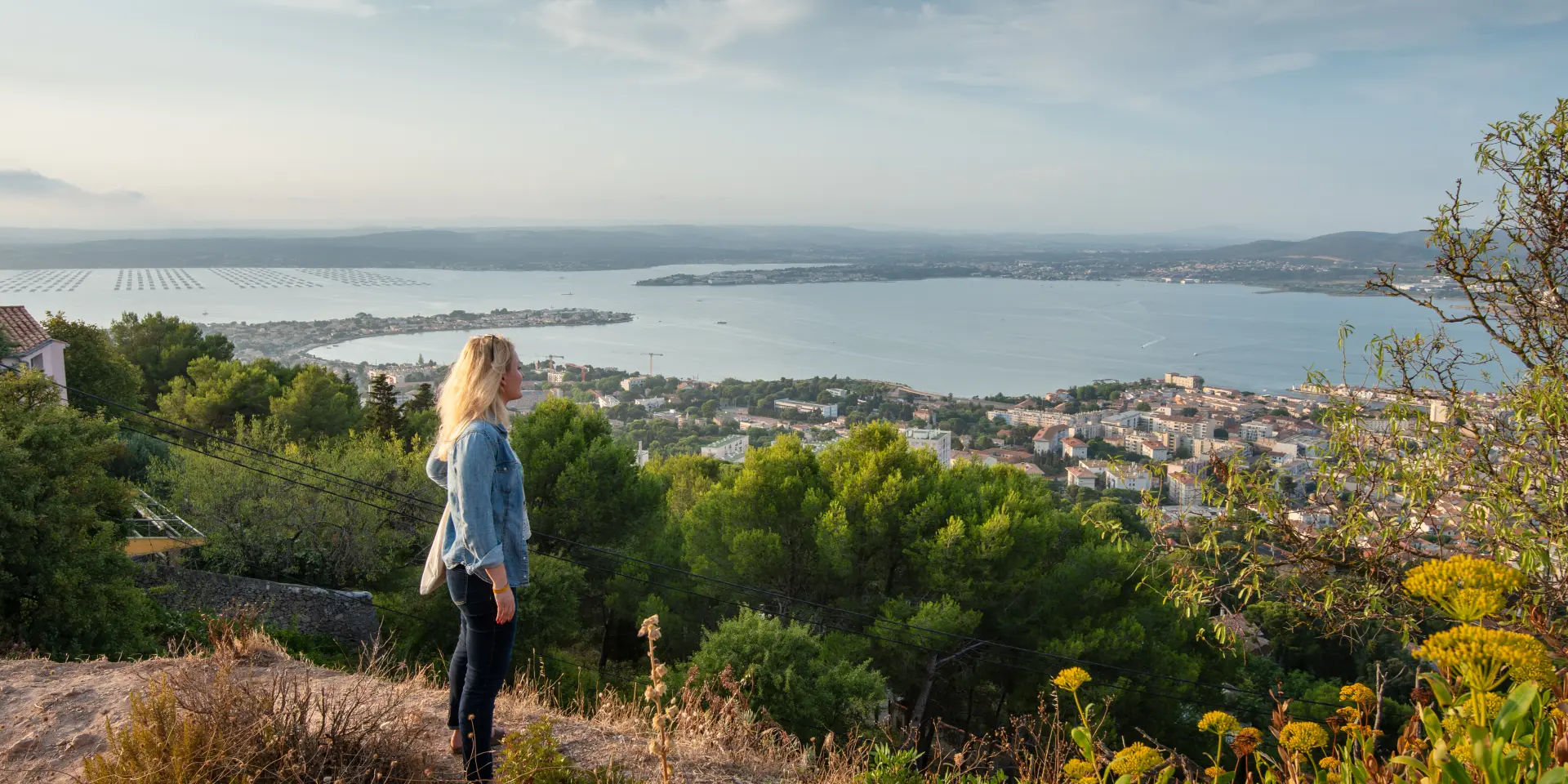
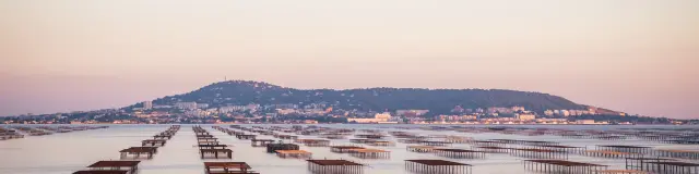
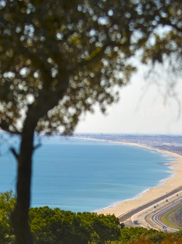
The Gardiole massif overlooks the Thau lagoon (7,500 hectares). 20 km long and approximately 5 metres deep, the lagoon is bordered by nine riverside towns, some of which can be seen. To the east, past the fuel depot, Frontignan is famous for its sweet wine, Muscat, which is grown in the shade of the Gardiole. Further to the left, jutting out like a peninsula into the lagoon, lies Balaruc-les-Bains, renowned for its thermal baths since ancient times. The oyster and mussel beds mark the towns of Bouzigues and Loupian, situated on the northern shore of the lagoon. The salinity and temperature (between 0°C and +24°C) of the water make the Thau lagoon a major centre for shellfish farming in France. As for the towns of Mèze and Marseillan, you need to head to the western slope of Mont Saint-Clair, at the Pierres Blanches site, to catch a glimpse of them.
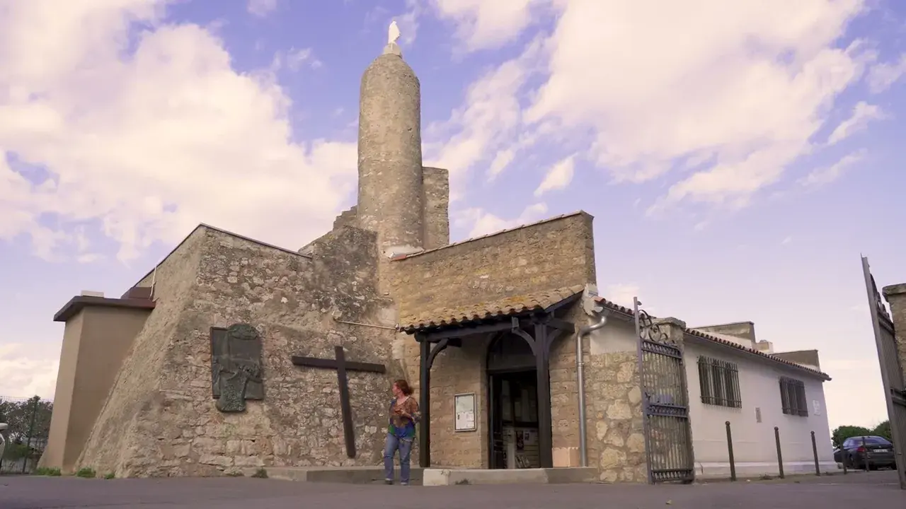
At 182 metres, this limestone hill – on which a cross has stood since 1932, visible for kilometres around – was already a refuge for pirates in the Middle Ages, as well as a place of prayer. Today, it offers a marvellous viewpoint over the Gardiole massif and the Thau lagoon (7,500 hectares, 20 km long and approximately 5 m deep), shared between nine neighbouring municipalities, parts of which can be seen:
To the east, past the fuel depot, lie the lagoons of Frontignan, a town famous for its sweet Muscat wine. Further to the left, jutting out like a peninsula into the lagoon, lies Balaruc-Les-Bains, renowned for its thermal baths since ancient times. The mussel and oyster beds mark the boundaries of the towns of Bouzigues and Loupian. The salinity and temperature (between 0°C and +24°C) of the water make the Thau lagoon a major centre for shellfish farming in France. As for the towns of Mèze and Marseillan, you need to head to the western slope of the hill, at the Pierres-Blanches site, to catch a glimpse of them.